Perth Hills Hiking Trails | Kalamunda | Stay Lost
Stay Lost in the Perth Hills with this list of amazing hiking trails located in Perth’s Eastern suburbs only 30 minutes from the CBD.
Kalamunda is amazing all year round and has something for everyone. From picturesque nature hikes to the more adventurous downhill mountain bike trails and everything in between.
Head to the hills this weekend for some adventure and get back to nature!
Hiking Trail Grades
Grade 1: Suitable for the disabled with assistance.
Grade 2: Suitable for families with young children.
Grade 3: Recommended for people with some bushwalking experience.
Grade 4: Recommended for experienced bushwalkers.
Grade 5: Recommended for very experienced bushwalkers.
Ensure that you wear the correct clothing, bring enough water and if possible hike with a partner or notify someone of your plans.
Hiking not your thing? Check out our Kalamunda Mountain Bike Trails Guide.
Rocky Pool
Distance : 5 km | Grade : 5 | Time to Complete: 120 minutes
NOTE: All are approximate and will vary depending on individual fitness and ability levels
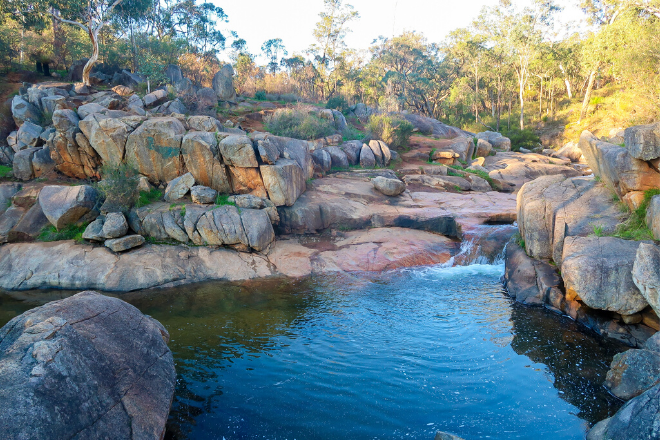
Start Point: Car park at the end of Spring Road. Leave the car park and head in a Northerly direction.
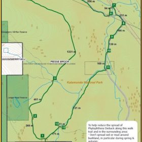
Rocky Pool is a hidden gem (well at least it used to be when i was growing up in Kalamunda) that is nestled nicely behind Kalamunda in the Kalamunda National Park. The 5km walking trail leads you to the Rocky Pool freshwater hole which has water in it for most of the year. The trail is a medium/hard grade due to some steep sections of loose gravel but i have walked it in thongs although not recommended.
Bring lot’s of water, some food and your camera as there are tons of picturesque shots to be had. The main trail is quite wide and it also suitable for a burn on the mountain bike if that’s more your thing.
Once you’ve worked up a thirst the Kalamunda Hotel is just around the corner (Railway Road) so you can get some tasty pub food and an ice cold pint.
Click here for the City Of Kalamunda’s Free Rocky Pool Downloadable Guide.
Lesmurdie Falls
Distance : 1KM+ | Grade : 2+ | Time to Complete: 20+ Minutes
NOTE: All are approximate and will vary depending on individual fitness and ability levels
Suburb: Forrestfield & Lesmurdie
Location: Palm Terrace, Forrestfield to Falls Rd, Lesmurdie
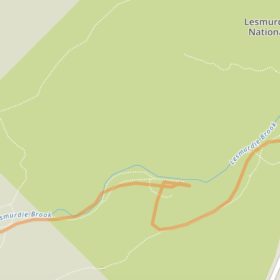
Start Point: Either at the Falls Road car park in Lesmurdie (top of the falls) or the Palm Terrace car park in Forrestfield (bottom of the falls).
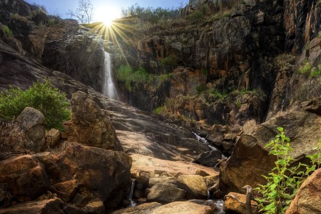
Lesmurdie Falls are one of the Perth Hills most popular attractions. Located in the Mundy Regional Park on the Darling Range escarpment. With multiple entrances you can either start your adventure at the bottom of the falls in Forrestfield or at the top in Lesmurdie. From the top you have magnificent views of Perth City and there are multiple hiking trails that will take you all around this incredible attraction.
The tracks are quite tame and the City of kalamunda have created some steps to help guide you up and down the side of the falls with multiple view points along the way.
It’s best to visit when there’s been some rainfall so you can check out the beauty of the falls when the water is flowing steadily. If you’re a bit more adventurous you can jump under the water at the bottom of the falls after your hike.
Bickley Reservoir
Distance : 3.2 km | Grade : 5 | Time to Complete: 90 minutes
NOTE: All are approximate and will vary depending on individual fitness and ability levels
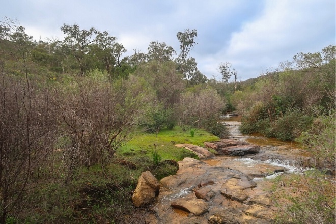
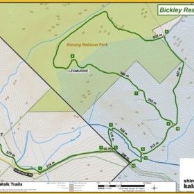
Bickley Reservoir is a moderately difficult hike with an abundance of wildlife and in the cooler months after some rain, flowing creeks and luscious vegitation.
Along the track there a sweeping city views across the valley and you can also see the wall of the Victoria Reservoir in the distance.
If you want an even bigger adventure you can try the 14km loop to Ellis Brook. The Ellis brook loop is for advanced hikers and requires map reading skills or a GPS app that has the track marked out.
Click here for the City Of Kalamunda’s Free Bickley Reservoir Downloadable Guide.
Jorgensen Park
Distance : 2.7 km | Grade : 2+ | Time to Complete: 60 minutes
NOTE: All are approximate and will vary depending on individual fitness and ability levels
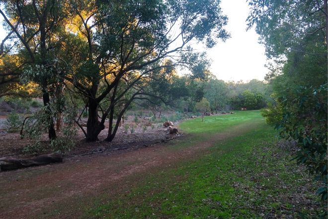
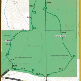
Jorgensen Park is a popular walking trail in the Kalamunda National Park that’s also dog friendly. It used to be the original Kalamunda Golf Club before they moved to Forrestfield.
You can follow the easy to navigate, network of trails along the old fairways and even cut into part of the Bibbulmun track. It’s a great place to let your dog have a run around in the bush. There’s also toilets and barbecue facilities if you’re looking to have a picnic and make a day of it.
Jorgensen Park is also located closely to the Rocky Pool Trails and Kalamunda Hotel although these places aren’t puppy friendly.
Click here for the City Of Kalamunda’s Free Jorgensen Park Downloadable Guide.
Bibbulman Track
Camel Farm to Hewetts Hill & Return
Distance : 5.0 km | Grade : 3 | Time to Complete: 90 minutes
NOTE: All are approximate and will vary depending on individual fitness and ability levels
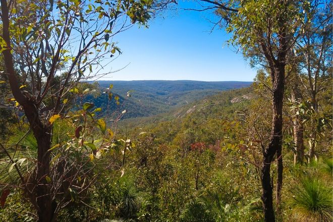
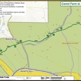
The Camel Farm to Hewetts Hill part of the Bibbulmun Track is a fairly easy trail that winds its way through the Mixed Hills Forest which is part of the Beelu National Park.
You will find an abundance of wildlife as well as the large Tuart and Jarrah trees. This trail has high ratings on other popular hiking trails websites.
Along the trail you should come across Hewitt’s Hut which is the first hut along the Bibbulmun Track. Connected to the hut is a large water tank that is normally filled with fresh rain water.
The Bibbulmun Track is a famous Western Australian track that covers nearly 1000km starting in Kalamunda through to the historic town of Albany.
Depending on your experience and fitness level it takes around 6-8 weeks to walk the Bibbulmun track from start to finish. Who knows, starting out with the smaller trails in our Stay Lost guide might be the beginning of a bigger adventure.
Click here for the City Of Kalamunda’s Free Camel Farm to Hewetts Hill & Return Downloadable Guide.


